About
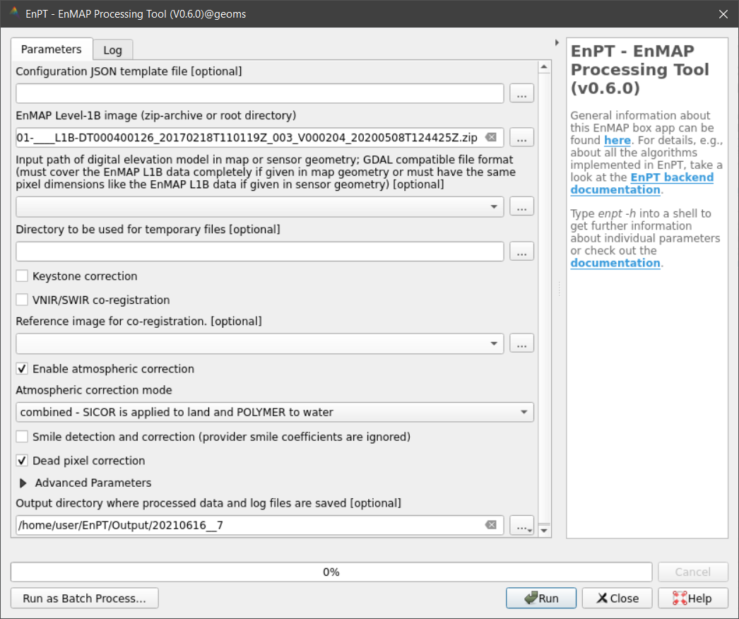
The enpt_enmapboxapp Python package provides a graphical user interface for the EnMAP processing tool (EnPT) developed at the German Research Centre for Geosciences Potsdam (GFZ). The GUI is accessible within the EnMAP-Box, a QGIS plugin to process imaging spectroscopy data and particularly the hyperspectral EnMAP data within the framework of QGIS. It allows to parameterize EnPT and run the processing chain to generate EnMAP Level-2A from Level-1B data.